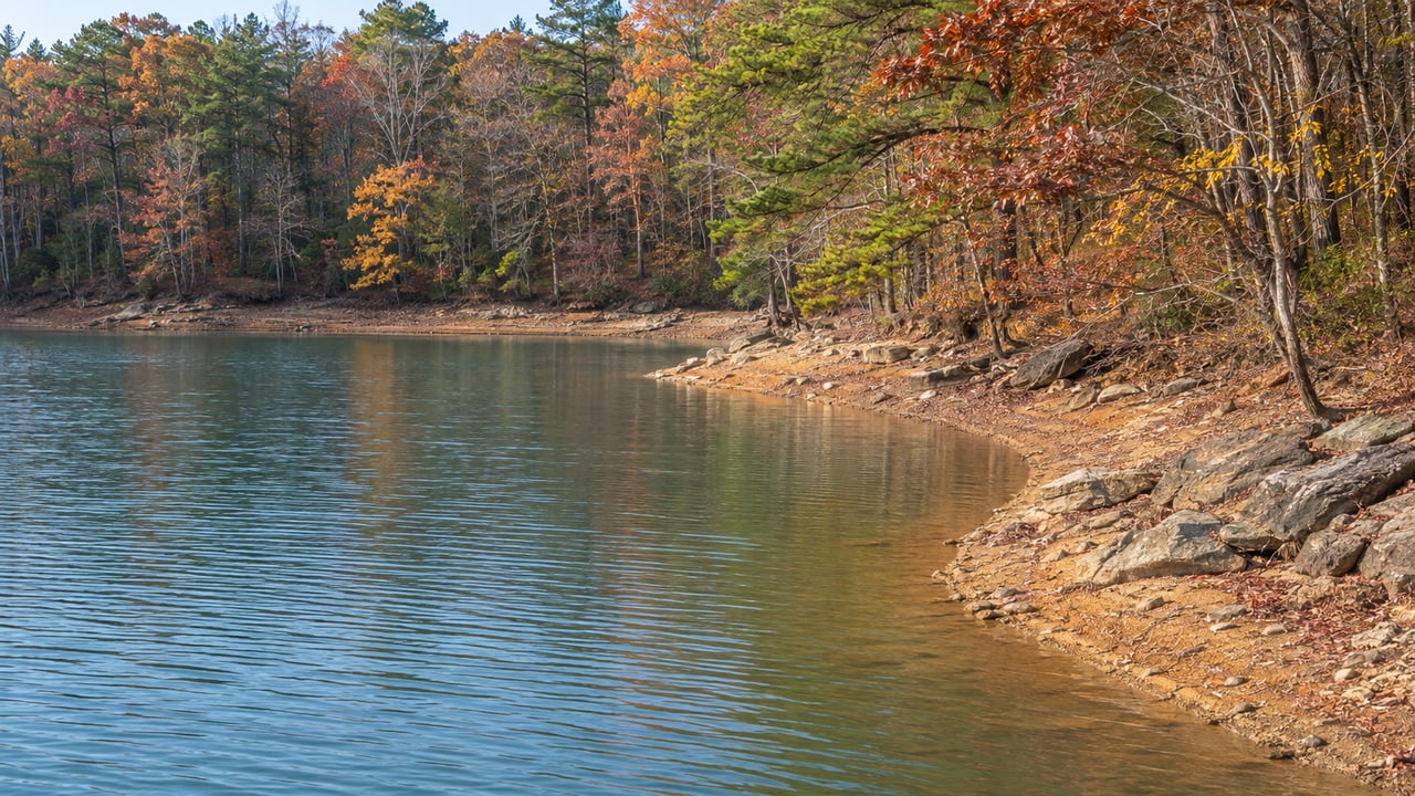
On Oct. 11, Duke Energy's lake dashboard had Lake Keowee at 96.5 on its 100-point full-pond scale. Lake Jocassee, a few miles upstream, read 83.4. Both lakes sit in the same river basin and the same drought stage. One was 3.5 feet below full. The other was 16.6 feet down.
The Keowee-Toxaway project runs the two lakes as a single system, and the license that governs it keeps Keowee in a tight range for reasons that have nothing to do with boating. When the basin runs short on water, the shortfall goes upstream to Jocassee first. On Keowee, the drought shows up in a different place: the days of the week you're allowed to run a lawn pump.
Two lakes, one set of pipes
Water moves between the lakes in both directions, and the order matters.
- Jocassee sits upstream on the Keowee River. Its turbine tailrace empties straight into Lake Keowee, according to the project description in the federal license.
- Jocassee's reversible units can also pump water from Keowee back up into Jocassee, according to Duke Energy's Keowee-Toxaway project page.
- Jocassee is also the lower pool for Bad Creek, the pumped-storage station above it. Bad Creek releases water into Jocassee when it generates and pulls water back out when it pumps.
- Keowee is the end of the line, and its job is the one that sets the rules. Duke calls Keowee a crucial source of cooling water for Oconee Nuclear Station. Station personnel operate Keowee Hydro so it stays available as an emergency power source.
The relicensing record says Keowee has typically run between 794.6 and 799.5 feet above sea level. It moves less than a foot on a daily average, partly because of Nuclear Regulatory Commission requirements tied to the nuclear station. That band is about five feet from top to bottom. Jocassee has no matching constraint, so it does the rising and falling for both lakes.
The floor the license sets for each lake
During a drought, the license spells out how low each lake may go, and the gap between the two floors is wide. Under Stage 2 of the Low Inflow Protocol, the stage the basin has been in since Feb. 2, 2026, according to WSNW, the license order lowers Keowee's minimum to 93 feet on Duke's local scale. Jocassee's minimum drops to 77.
Put those floors next to the Oct. 11 readings:
| Lake | Reading on Oct. 11, 2026 | Feet below full pond | Stage 2 minimum | Feet above that minimum |
|---|---|---|---|---|
| Keowee | 96.5 | 3.5 | 93 | 3.5 |
| Jocassee | 83.4 | 16.6 | 77 | 6.4 |
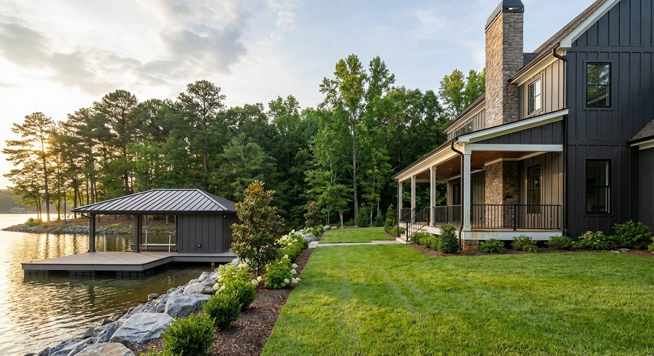
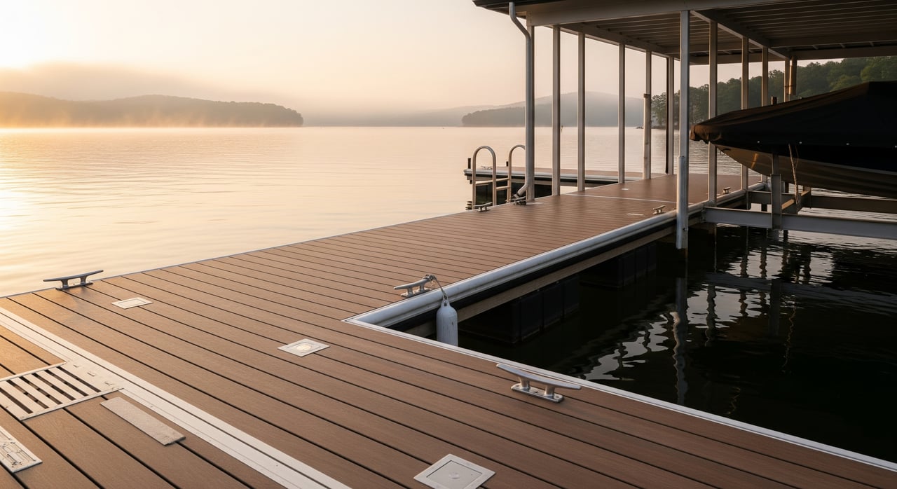
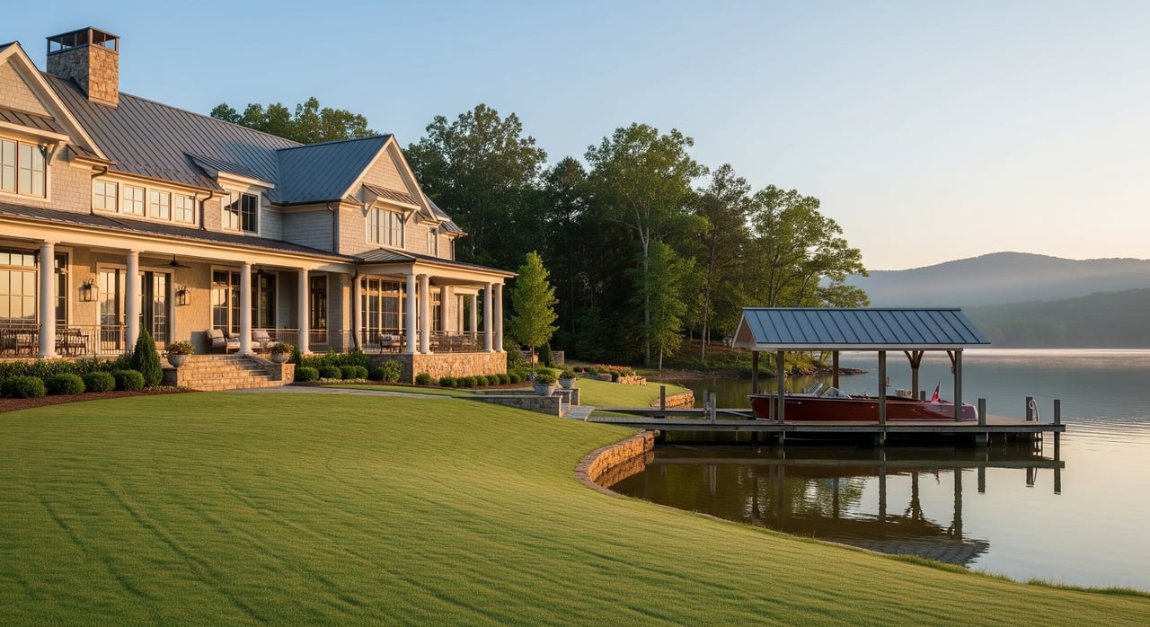
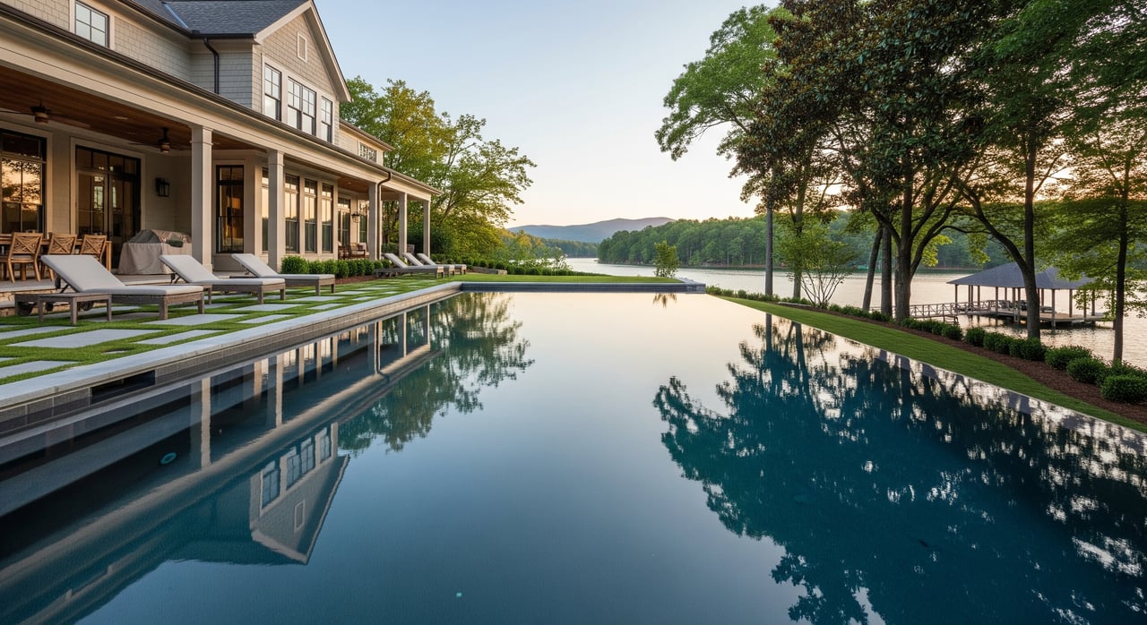
From a Keowee dock, the lake looks close to normal. But in feet, Keowee on Oct. 11 was closer to its own drought floor than Jocassee was. Jocassee looks dramatic because its floor sits so much deeper. Keowee looks calm because its whole range is small, and three and a half feet uses up a large share of it.
The license also caps how much water leaves the system. In Stage 2, total weekly releases from Keowee Dam are limited to 15,000 acre-feet. That figure includes turbine flow, floodgates, leakage and seepage. The cap has exceptions for releases the nuclear station needs and for emergencies. Duke's September drought briefing estimates leakage and seepage at Keowee Hydro and the dam at about 650 acre-feet a week when no operational releases are made.
How the gap opened over a year
The two lakes started this drought close together. The basin reached Stage 0 on Aug. 1, 2025, and Stage 1 on Dec. 16. Stage 2 followed on Feb. 2, 2026, after back-to-back weekends of snow and ice failed to make up for months of dry weather, The Journal reported. The same story cites state climatologist Hope Mizzell calling November 2025 the second-driest November on record.
When the basin entered Stage 2, The Journal reported Jocassee 3.5 feet below full pond and Keowee 2.8 feet below. Bad Creek Reservoir was 40.4 feet down. Over the following months, Keowee slipped by less than a foot. Jocassee fell by about 13.
Duke's figures make that scale concrete. The September briefing says about 23,000 acre-feet equals roughly one foot of combined storage across Jocassee and Keowee. In the two weeks before that briefing, Duke's storage measure fell from 59.9% on Sept. 1 to 57.9% on Sept. 16. The Army Corps storage figure dropped from 61.3% to 56.2% over the same period. Both readings kept the basin in Stage 2.
The state's view from mid-October matched. The South Carolina Drought Response Committee's Oct. 15 release called the statewide improvement the most significant since the drought began in early fall 2025. The committee still kept counties in the Savannah River Basin at Moderate drought status because the reservoirs remained low. It put Jocassee 14.70 feet below its guide curve for the time of year and Lake Hartwell 10.57 feet below its own. The state's current drought map lists both Oconee and Pickens counties as Moderate as of Oct. 13.
Where Keowee residents feel it
Keowee's water level barely moved, so for most lakeside households the drought arrives as a rule. Under Stage 2, the license requires residents who pump water from the lakes to irrigate lakeside homes to limit that to no more than two days a week, on days Duke chooses. When the basin moved to Stage 2, The Journal reported that the designated days were Tuesdays and Saturdays, and quoted Duke's KT-DMAG coordinator, Phil Fragapane:
"We want to thank residents for supporting water conservation efforts and ask everyone withdrawing irrigation water from Lake Keowee or Lake Jocassee to limit watering to the two designated days per week."
The license spreads the load to larger users too. Public water suppliers that draw from Lake Keowee set a goal of cutting withdrawals by 5 to 10 percent or more and are expected to tell their customers about the low-inflow condition. Duke is required to post the current drought stage on its lake information website and its toll-free phone line. Check there for the current watering days before you set a sprinkler timer. This post is general information, not legal advice, so confirm what applies to your own property with Duke or the right professional.
Where it shows from a boat
On Jocassee, the drop is easy to see from the water. Devils Fork State Park's boating page says the lake's levels fluctuate frequently and advises trailering any boat that will be left unattended. The park also notes that Jocassee's waterfalls can be reached only by boat. A fall trip up the lake now passes a lot more exposed shoreline than a spring trip did.
On Keowee, boats launch at about the usual level, but one Pickens County ramp is closed this season for another reason. The county's Aug. 27 notice says Warpath Landing is temporarily closed for improvements through fall and winter 2026. The notice lists these alternatives:
- Free Duke Energy ramps: Crowe Creek Access Road in Pickens, Cane Creek Landing at 436 Cane Creek Landing Road in Seneca, Stamp Creek Landing at 890 Stamp Creek Landing Road in Seneca, and Fall Creek Landing in Salem
- County parks at $5 per vehicle to launch: Mile Creek County Park at 757 Keowee Baptist Church Road in Six Mile, High Falls County Park at 671 High Falls Road in Seneca, and South Cove County Park at 1099 South Cove Road in Seneca
- Non-motorized access: Keowee-Toxaway State Park at 108 Residence Drive in Sunset, with free admission
What happens next
Under Stage 2, the license has Duke coordinate drought meetings, typically every two weeks, with the advisory group's members and other water system managers. Those meetings decide when the stage changes. The latest update on Duke's Keowee-Toxaway drought advisory page is from Sept. 17. Its readings date to Sept. 16 and kept the basin in Stage 2. The South Carolina Drought Response Committee meets next on Dec. 3, 2026, and will review the Oconee and Pickens county status again. In the meantime, Duke's lake dashboard posts the drought stage next to each lake's level.
If you own on Keowee and want to know how this year's water levels and shoreline questions affect what your property is worth, Thomas & Crain Real Estate can walk you through it with local numbers. Request a Free Home Valuation and we'll start with your stretch of shoreline.